

|
|
 Aircraft
 Cars, Boats, etc.
 More Cars, Boats, etc.
 Tools & Utilities
 How to Install New Aircraft
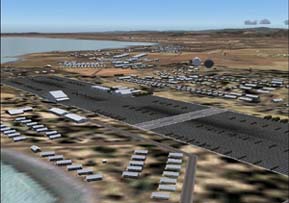
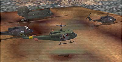
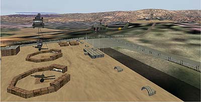
FS2002/FS2004 scenery--Chu Lai, Vietnam-1968
Americal Division HQ during the middle and
later years of the Vietnam War. Includes 50
surrounding LZs and many objects are textured
from actual photos taken by the author during
his tour of duty in the area. A trip back in
time for Veterans. By Al Simms
 Download - 19,599kb
A Great Scenery package that is even better than Payware...............
 Vista Australis (VOZ) will revolutionize FS2004 in a way no other single addon has done before.
This freeware package rivals commercial payware releases but does not skimp on quality or features.
In addition to replacing all the FS2004 textures for the *entire* Australian continent, VOZ does
this across four distinct geographical regions and also includes roads, water, coastlines, sceneries,
new water, clouds, dawn, dusk, massively detailed Melbourne CBD, Sydney Harbour upgrades, new
building models, the highest density autogen in any scenery release with stunningly detailed
city and rural autogen textures and much much more. Wrap this all up in a professional installer,
50 documented flights and adventures to stunning scenic locations, a clear and concise user manual,
a full community website and support forum with 150 members signed up in the first 5 days - and you
have a new approach to freeware that will raise the bar for commercial developers. VOZ attempts to
create the Flight Simulator community of old, where people pitch in to create something great.
Expect to be impressed when you install VOZ and see the true, glorious, beautiful colours of
Australia the way it was meant to be seen!
NOTE: The textures will greatly enhance your view of the rest of the world.
Download from: vistaoz.org
Incredible, Spectactular Scenery of Taiwan.. "El Formosa"
Was available from AvSim and now here for your convenience. Includes many
upgraded airports.
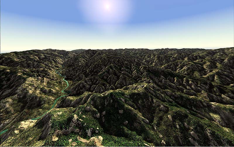
The files are zipped in groups and total about 180mb. It's a chore to get all the files and un-zip them but well worth the effort and you sure can't beat the price.
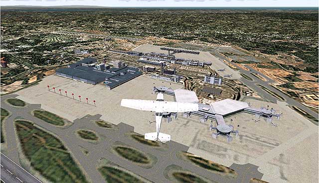
| Courchevel Airport, France (LFLJ) Interesting up hill runway.
|
|
Simply add the textures to your "Addon Scenery/Texture" folder.
These airport files also contain IA, Lago and a brief history.
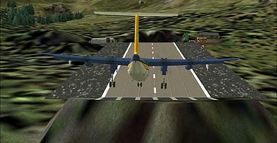
| Aeroflex-Andover Airport, NJ, (12N) Serves Andover and Sussex County and is owned by the New Jersey State Forest Fire Service. Aeroflex sits between two lakes, which are part of a state park. The paved runway extends for 1981 feet. The facility is at an elevation of 583 feet at a distance of about 2 miles from Andover. This scenery requires Nova, Nova Gold, NovaSim and ASDv2.1 texture sets. There is a Lago FSE file which is optional, but of course, Traffic Tools v2.x and AFCAD v2.x are required. By John B. Loney, Jr.
|
|
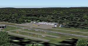
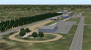
| Hammonton Municipal Airport, NJ, (N81) Hammonton Municipal Airport serves Hammonton and Atlantic County and is owned by the Town of Hammonton. The paved runway extends for 3,004 feet. The facility is at an elevation of 69 feet at a distance of about 3 miles from Hammonton. Dynamic scenery created with Lago's FSE. FSDS3 testures included. Modified AFCAD2 file AI traffic. Need EZ Scenery and RwyI2 libiaries. By John B. Loney, Jr.
|
|
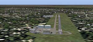
| Trinca Airport (13N) Serves Andover and Sussex County and is owned by Tranquility Aero Corporation. The turf runway extends for 1924 feet. The facility is at an elevation of 600 feet at a distance of about 3 miles from Andover. ASDv2.1, Nova, Nova Gold and NovaSim textures required. Traffic Tools and AFCAD2 are also required. Includes Dynamic scenery via Lago's FSE which in optional. By John B. Loney, Jr.
|
|
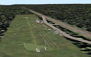
| Camden County Airport (19N) Serves Berlin and Camden County NJ and is owned by K Kleinberg, Albion A/p Inc. The paved runway extends for 3102 feet. The facility is at an elevation of 150 feet at a distance of about one mile from Berlin. This FSDS2 created scenery requires ASDv2.1, Nova, Nova Gold and NovaSim texture sets. Also Traffic Tools v2.x and AFCAD2.x are a must. Some custom sign textures are included. By John B. Loney, Jr.
|
|
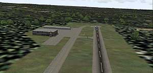
| Princeton Airport (39N) Serves Princeton/Rocky Hill and Somerset County NJ and is owned by Princeton Aero Corp. The paved runway extends for 3099 feet. The facility is at an elevation of 125 feet at a distance of about 3 miles from Princeton/Rocky Hill/. Requires AFCAD2, Traffic Tools v2.0, and Nova and Nova Gold textures. By John B. Loney, Jr.
|
|
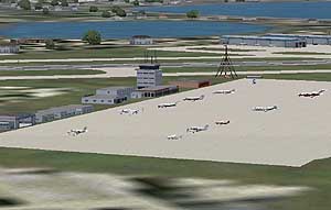
| Igor I Sikorsky Memorial Airport (KBDR) Serves Bridgeport and Fairfield County and is owned by the City Of Bridgeport. The airport has more than one runway. The longest is a paved runway extending 4761 feet. The facility is at an elevation of 10 feet at a distance of about 3 miles from Bridgeport. The airport has been known by several different names during its long history. Prior to 1937 when the City of Bridgeport purchased the airport it was known as Mollison Field. During the 1930's, many now-famous aviators visited the field. Names such as Amelia Earhart, Charles Lindbergh, Howard Hughes, and Juan Trippe can be found in the airport logbooks documenting their arrivals. The scenery requires the following: ASDv2.1, Nova, Nova Gold and NovaSim textures. Some customs textures (Included) and Traffic Tools V2.x and AFCAD2.x. By John B. Loney, Jr.  Download - 2,137kb Download - 2,137kb |
|
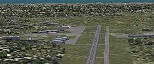
| Monmouth Executive Airport (KBLM) Used to be the Army Air Field for Fort Monmouth NJ. Formerly know as Allaire Airport, Monmouth Executive is now privately owned, but is open to the public. Requires ASDv2.1, Nova, Nova Gold textures and Traffic Tools. By John B. Loney, Jr.
|
|
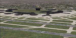
| Newark Liberty International Airport (KEWR) Is operated by the Port Authority of New York and New Jersey under a lease with the city of Newark, NJ. This relationship has been going on since 1948. The airport was built by the City of Newark on 68 acres of marshland. Today it sits on 2,027 acres, with the majority of the airport located, believe it or not, in the City of Elizabeth, NJ. It was the first major airport in the metropolitan area which today consists of LaGuardia, JFK and Newark. This is version 2, completely redone for FS2004. The scenery reqiures textures from ASDv2.1, Nova and Nova Gold. Traffic Tools and AFCAD2 are a must. By John B. Loney, Jr.
|
|
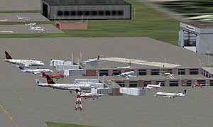
| Westchester County Airport (KHPN) Was originally constructed in 1942 on 700 acres in lower Westchester County, the airport was intended as an Army Air Force base to be used in the protection of New York City during World War II. In 1947 the airport and surrounding property were handed over to the County of Westchester for commercial and civil aviation use, and re-named Westchester County Airport (HPN). Although there has been some argument about this, the 3 letter code is from Harrison-Purchase-North Castle...(3 towns bordering the airport). The scenery employs ASDv2.1, Nova, Nova Gold and Novasim textures. These are required. Traffic Tools v2x and AFCAD2x are required as well. Lago's FSE scenery is optional. By John B. Loney, Jr.
|
|
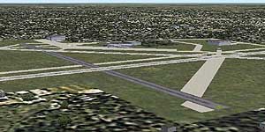
| Millville Municipal Airport serves Millville and
Cumberland County Is owned by the City Of Millville. The airport has more than one runway. The longest is a paved runway extending 6001 feet. The facility is at an elevation of 86 feet at a distance of about 3 miles from Millville. Known as America’s First Defense Airport since the Millville Army Air Field was dedicated by the US War Department in 1941. ASDv2.1, Nova and Nova Gold textures and Traffic Tools 2.01 are required. By John B. Loney, Jr.
|
|
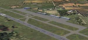
| Robert J. Miller Air Park Airport (KMJX) Serves Toms River and Ocean County NJ and is owned by Ocean County. The airport paved runway extends 5949 feet. The facility is at an elevation of 82 feet at a distance of about 5 miles from Toms River. Created with FSDS2. Requires Nova and Nova Gold Textures, Traffic Tools v2 and AFCAD2. By John B. Loney. Jr.
|
|
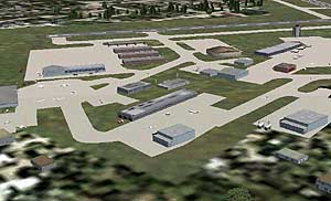
| Morristown Municipal Airport (KMMU) Serves Morristown and Morris County and is owned by the Town of Morristown. The airport has more than one runway. The longest is a paved runway extending 5,999 feet. The facility is at an elevation of 187 feet at a distance of about 3 miles from Morristown. Requires Nova, Nova Gold, NovaSim and ASDv2.1 textures. Traffic Tools and AFCAD2 a must have. Lago's FSE optional. This version demonstrates animated hangar doors. Lago FSE owners only, please look out for a fuel truck driving around the field. By John B. Loney, Jr.
|
|
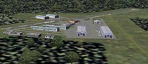
| Somerset Airport (KSMQ) Serves Somerville and Somerset County NJ and is owned by Somerset Air Service, Inc. The airport has more than one runway. The longest is a paved runway extending 2733 feet. The facility is at an elevation of 105 feet at a distance of about 3 miles from Somerville. This scenery requires textures from ASDv2.1, Nova and Nova Gold. Also required is Traffic Tools v2 and AFCAD v2.11. For those with Lago's FSE, there is a optional file in this download. By John B. Loney, Jr.
|
|
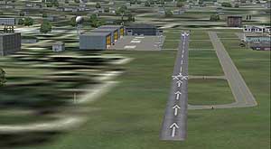
| Lincoln Park Airport (N07) Serves Lincoln Park and Morris County and is owned by Dr. Geo. Peck & Joe Rendiero. The paved runway extends for 2942 feet. The facility is at an elevation of 182 feet at a distance of about 2 miles from Lincoln Park. This is version 3 requiring texture sets ASDv2.1, Nova, Nova Gold and NovaSim. Other custom textures are included. Traffic Tools v2.x and AFCAD2 are also required. Lago's FSE is optional. This scenery has parking inside the hangars as well as outside tiedowns. By John B. Loney, Jr.
|
|
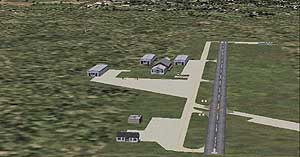
| Flying W Airport (N14) Serves Lumberton, N.J. and Burlington County and is owned by FDI Corp. The paved runway extends for 3,496 feet. The facility is at an elevation of 50 feet at a distance of about one mile from Lumberton. The Flying W of the 1960s was one-of-a-kind, offering not just pilot services, but also a four-star restaurant, a 28-unit motel, a horseback riding stable, and the famous airplane-shaped swimming pool. ASDV2.1, Nova and Nova Gold textures are required. Also requires Traffic Tools v2.01. By John B. Loney, Jr.
|
|