


|
 |
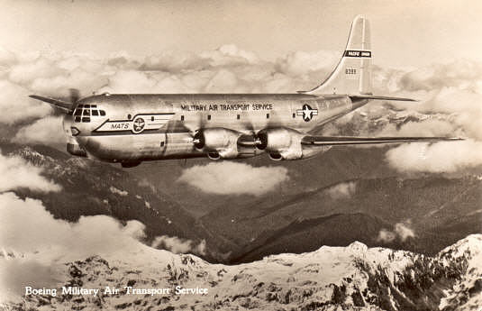 Doc and a number of others have come up with an idea for a group flight "Over the Hump" recreating
a major effort performed by MATS during WW2.
This is growing in to a major project.
Stay tuned for updates.
Nico, Ice, Raz, Trigger and Mad Dog are helping get all the files together. A few planes on the way. It seems everyone likes the old props so it's been fun the last few weeks to see the interest.
A web site for the project is at http://www.freewebs.com/matsfs
We will be discussing the project in the Forum
 NEW! MATS C-74 Flights screen captures
When this is all finished, we'll all have the MATS fleet planes and could do some videos in groups.
Current hop list is 13,262nm with 33 hops.
NOTAM...................
The main western hub is VTCM. The scenery places VTCM on top of VEBR over 600nm from where it is in Flight Sim.
FSNav will show both locations but in Flight Sim use "Go to Airport" VEBR to be in the right place.
Available Files...................
YOU NEED THE SCENERY otherwise you will not find most of the airports.
Note: As we update these files we are changing the /aircraft folder name to start with the word "MATS"
to make them easy to find.
Also in the "aircraft.cfg" file, "ui_manufacturer=MATS". This way all MATS planes will be listed under MATS.
For the Noobies that have a problem with navigation, Iceman has provided an AFCad file to show the airfields
on the GPS.
Download MATS Hump AFCADS.rar File size=117kb. Back then there was no GPS.
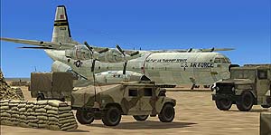
This file contains the airports, flight plans and documentation Without this you will not be able to find the airfields Download The Hump.rar - File Size = 6,817kb
| 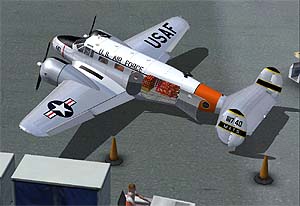 Beechcraft C-45G Expediter MATS.zip File Size = 17,288kb C-45 FS Passengers payload.zip - 37kb 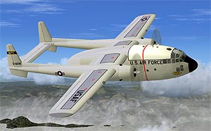 Fairchild C-119B Flying Boxcar MATS.zip File Size = 5,152kb C-119B FS Passengers payload.zip - 25kb 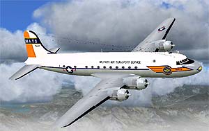 Douglas_C-54_Skymaster_MATS.zip File Size = 12,229kb (New 03/09) C-54 MATS payload.zip - 71kb 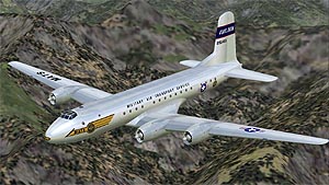 Douglas_C-74_Globemaster_MATS.zip File Size = 9,102kb 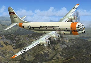 Boeing C-97 Stratofreighter MATS.zip File Size = 20,864kb 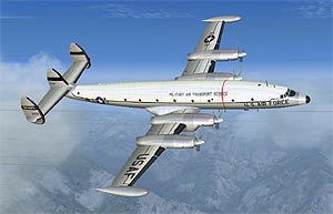 Lockheed_YC-121F_Constellation_MATS.zip File Size = 17,031kb
| These files will be replaced soon. 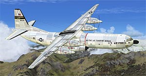 Douglas C-133B_Cargomaster MATS.rar File Size = 11,883kb 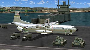 Douglas Douglas_C-133_Cargomaster_MATS.zip File Size = 9,701kb 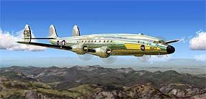 Lockheed C-121A Constellation MATS.zip File Size = 23,511kb
| 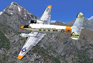 Howard 500 MATS.zip - 35,182kb Howard 500 MATS payload.zip - 26kb 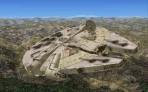 Wow! How did this get here? | ||||||||||||||||||||
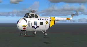 Alpha-Sim Sikorsky S-55 helicopter.zip File Size = 1,876kb 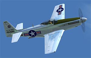 North American TF-51 MATS.zip File Size = 2,788kb 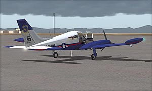 Flight 1 Cessna 310 MATS.zip File Size = 3,190kb 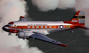 MAAM-Sim R4D MATS repaint.zip File Size = 3,003kb 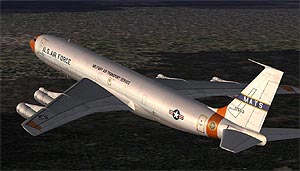 Captain Sim 707 MATS repaint.zip File Size = 2,301kb |
"In December of 1942, after the Japanese had cut off the Burma Road, the Air Transport Command took over the responsibility of supplying China from India. Although a number of their aircraft and supplies had been "pirated" by other unsympathetic commands, they still had a job to do. The goal of the ATC's India-China Wing was to deliver 2,500 tons during the month of February and to double that tonnage shortly thereafter. The ATC succeeded in making their quotas and, near the end of the war in July, 1945, were able to deliver the amazing total of more than 71,000 tons of cargo to China for that month.
This they did by flying the 520 miles directly from the broiling sun of Assam, India, over steaming, fetid jungles infested with unfriendly headhunting tribes; wild animals, snakes, and insects; poison and disease; and enemy-held territory where Japanese patrols tried to lead them astray with false beacons. It was a flight that took them over the world's highest, most treacherous mountain range - to the rough, hand-hewn runways at Kunming, painstakingly laid out by countless thousands of Chinese coolies. And often, after these intrepid ATC pilots had completed their treacherous journey, they found that the landing field was underwater and/or closed in by clouds.
Many times the pilots took the less direct route, farther to the northwest, flying an additional 200 miles to avoid the enemy-held territory. They crossed the Hump at from 16,000 to 18,000 feet. In bad weather, however, the minimum was 20,000 feet, at which altitude the wings and control surfaces iced up."
Anyways....
Assam is the northeast State in India. Assam is not in fs9. The Capital city of Assam is Dispur which is not in the game either but it turns out Dispur is a suburb of Guwahati.
Guwahati is VEGT in fs9 with no other airports closeby and a 9,000' runway close to sea level.
Kunming, China is ZPPP, nestled in a valley in the mountains. It's a 600 nm trip direct.
I think it would be a blast ! Say set a day and time to start at VEGT. Anyone late could start at VEGT and we could watch everyone coming in to land at ZPPP and take screenshots of everyone landing like a mass fly-in.
The planes used for that were the C-47 and the C-46. Everyone has the default DC-3 so nobody has to install anything.
SCREEN SHOTS 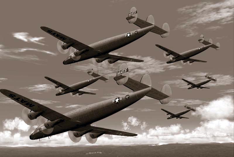 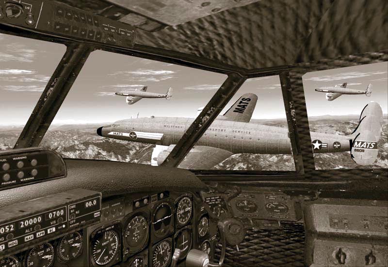  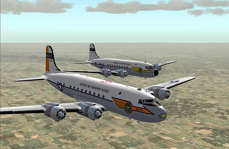 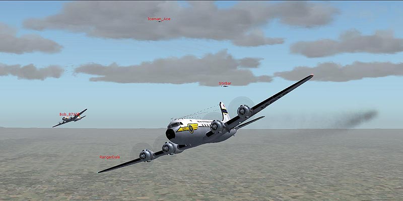 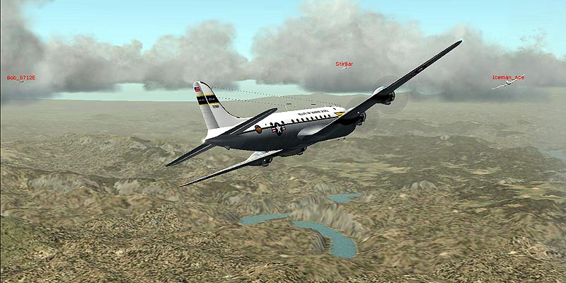 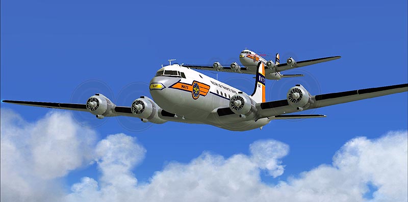 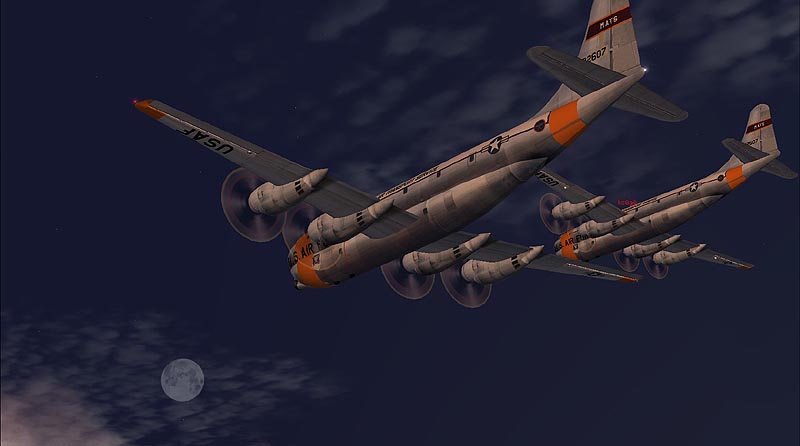 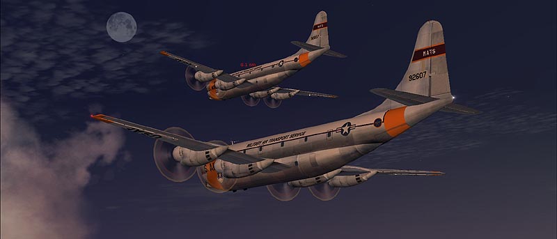 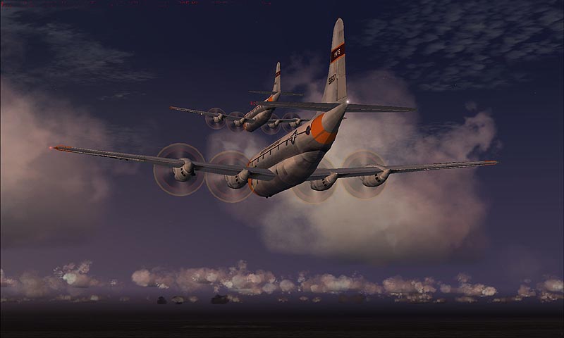 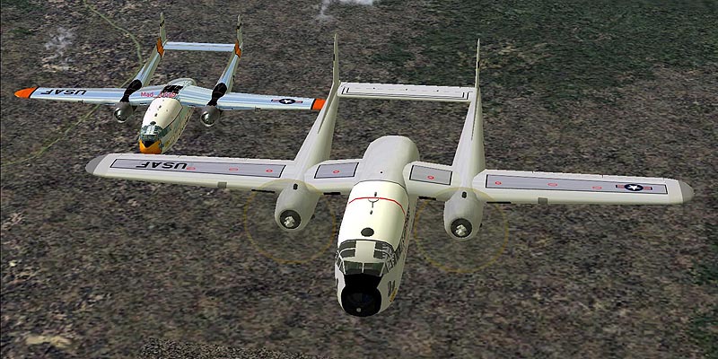 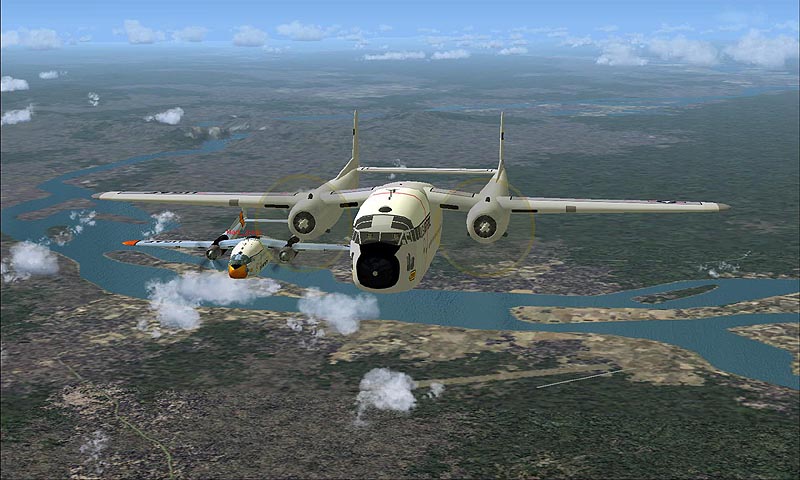 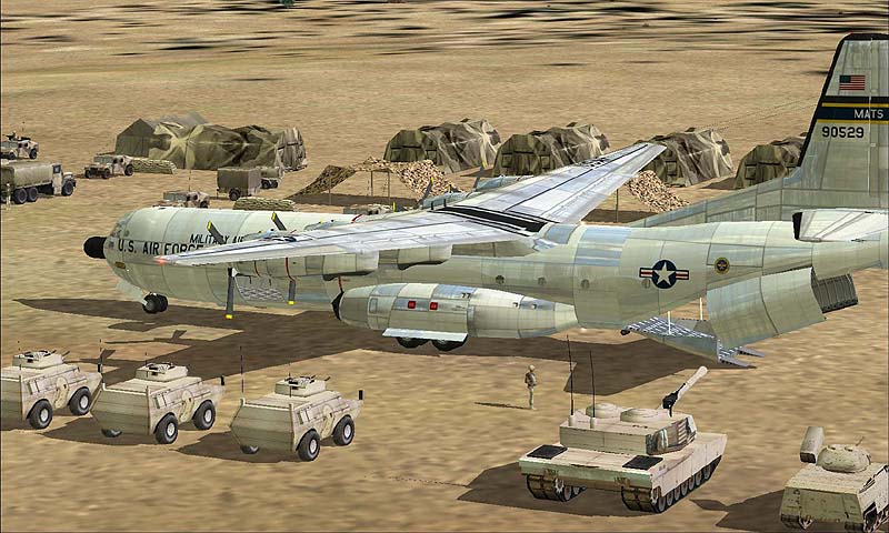 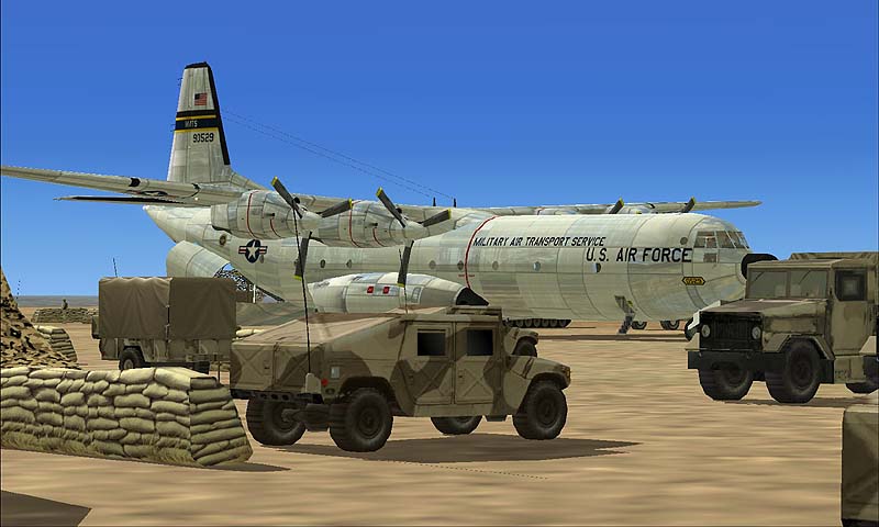 Thank you for flying  |