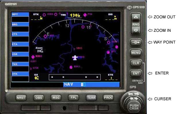
The GPS has a lot of great features but this tutorial is just going to show you how to set it to
get from where you are to where you want to go.
Here is what it looks like and the buttons that we need to use.
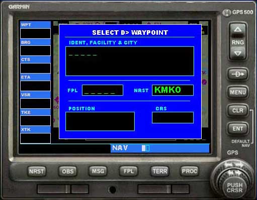
 Press the Way Point button and you will see this
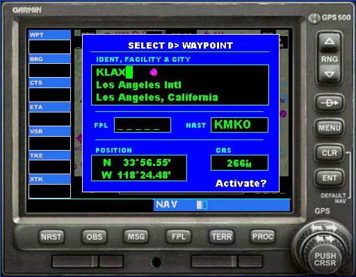
 Press the Curser Arrow and you will be able to enter the waypoint.
You may have to hit it twice and put your curser on the GPS to be able to use the keyboard.
The idea is to use the knob to enter the ID code but it is much easier to just type it in with the keyboard.
It should look like this if you want to go to KLAX
 Now press the GPS Enter button several times until you get back to the map display.
 You can also press the Terrain button to get a nice view of the terrain instead of the black background.
In this example the GPS now shows that the "dis" distance to KLAX is 1138 nautical miles.
The red line going down and to the right is the course that you need to fly.
You can set your NAV/GPS switch to GPS and set your autopilot to NAV and you will fly the course.
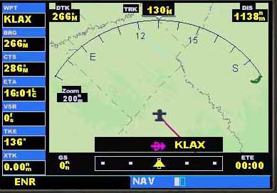
Here is what it looks like in mid-flight, we are on a heading of 262, we have 966nm to go and
our "gs" ground speed is 461 knots and we have 2 hours and five minutes until we get there.
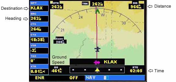
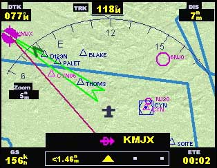
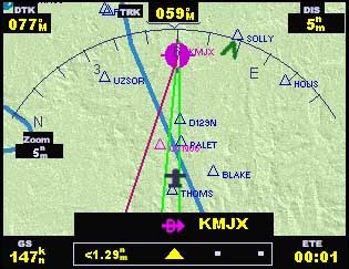
When you get near the airport you can zoom in and see the main runway and if there is ILS you will see a green
path for the approach. (yes, this is not the same airport)
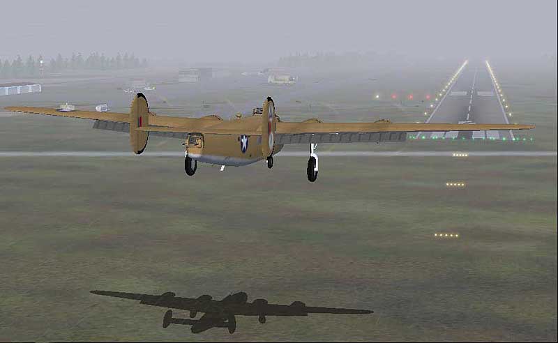
You can now turn off the auto-pilot and fly the approach guided by the GPS display.
Happy Landings....
If I have left anything out or you need more help please
Email


 Press the Way Point button and you will see this
 Press the Curser Arrow and you will be able to enter the waypoint.
 Now press the GPS Enter button several times until you get back to the map display.
 You can also press the Terrain button to get a nice view of the terrain instead of the black background.


